
By Richard Berman
Urban planning has always existed in a bit of a fantasy world. All you need to do is look at covers of Popular Mechanics from the 1940s and ‘50s to see that the future belonged to flying cars and streamlined monorails soaring over gleaming glass-and-metal cities. Flash forward 70 years, however, and we’re closer to Fred Flintstone than George Jetson as we drive our gas-powered cars on asphalt roads with nary a cantilever in sight. So why were the midcentury dreamers so far off the mark? The key reason is that they forgot one inconvenient fact: existing infrastructure doesn’t simply disappear to make way for the new. We are still designing our urban spaces guided by the ghosts of rail routes built in the 1800s, whether the tracks are still there or not.
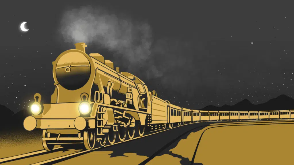
It is hard to underestimate the importance of trains in 19th-century North America. Rail was the dominant mode of transport for cargo and passengers, and cities with rail depots thrived. If you look at a map of the continent, nearly every major city today started out as a rail hub or a port (or both) in the 1880s. It’s no accident that Amtrak’s route from Chicago to Seattle is still called “The Empire Builder.”
But trains didn’t just connect cities: they also defined how cities themselves grew. Not only did rail terminals become the centerpieces of downtown business hubs, but the tracks themselves turned into literal walls that divided neighborhoods into disconnected halves. Much has been written about the effect of post-WWII freeways on North American cities, but the long-term echoes of the rail lines that were built generations earlier remains every bit as consequential to how modern cities function.
Most of the original rail infrastructure was built at grade, meaning that tracks simply ran along existing streets. This made sense in an era before cars and trucks, when populations were far smaller than they are today. As trains got bigger and faster – primarily because of the advent of diesel-electric engines – they required better infrastructure to increase safety and efficiency. That’s when specialized rail beds, which led to the impenetrable dividers that we see today, became the norm.
The echoes of this approach are still being felt today, and their effects have fundamentally shaped how many modern urban neighborhoods function. Until the 1970s, many North American downtowns had working rail spurs, although over the last four decades most urban hauling has been replaced by tractor-trailers. Nevertheless, these cities are still defined by rail infrastructure. One such area is the Palisades neighbourhood of Washington, DC, which overlooks the Potomac River. It is one of the most picturesque areas of the city, and it has remained physically isolated for more than a century in large part because of the rail tracks that separate it from nearby areas. Even though most of the track has been pulled up since the last B&O train passed through the area in 1985, there are still only a limited number of roads that allow passage in and out, which has led to the creation of a somewhat distinct and isolated culture. Many swanky neighborhoods are described as “enclaves,” but thanks to 19th-century train tracks, the Palisades is quite literally cut off from the rest of the city. You really aren’t going to find it unless you look for it.
It’s not just former rail tracks that divide cities. In fact, places like Portland, Oregon, and Oakland, California are stuck with active train infrastructure sitting on billions of dollars of land. If you look at an aerial map of Oakland, you will notice that the railyard occupies hundreds of acres adjacent to San Francisco Bay, which could be some of the most valuable real estate in the United States. That’s why so many cities have relocated their rail facilities to suburban and exurban areas, but the reality remains that active rail operations in major cities negatively affect the ability to drive economic growth and create new neighborhoods.
Within the last 20 years, city planners have come to grips with the fact that the tracks that bisect cities divide, rather than unify, people. As a result, a number of efforts have been made to mitigate some of their lingering effects. In the midtown area of Toronto, an old section of abandoned tracks has been transformed into the Belt Line Trail, a nine-kilometer linear park that is heavily used by runners and cyclists. New York has gone one step further by turning an unused elevated section of track on the city’s west side into the visually stunning High Line Park, which has now become an iconic attraction for locals and tourists.
The reality, of course, is that trains are still heavily used and are important to the economy of North America, and they aren’t simply going to vanish. In fact, a new subway line in the East End of Toronto is actually widening the rail footprint in the trendy Leslieville neighborhood, and a number of buildings will be demolished to make way for the tracks. Only a few blocks away, a curious little community called The Pocket remains almost entirely cut off from the rest of the city by the Toronto Transit Commission rail repair yard. These divisions are the lasting legacy of a rail boom that started more than 150 years ago. And while flying cars may be the dream of the 21st century, we are still facing a reality defined by iron and steel from the 19th century.
Richard Berman is a writer with an interest in how cities work. His articles have appeared in dozens of publications, including the San Francisco Chronicle, the Toronto Star, Buildings, and Spacing.